An interactive map showing places to visit around Bournemouth. View old maps of Bournemouth from 1897 and 1931.
A collection of aerial photos of Bournemouth and the surrounding area kindly provided by Kitchenham Photography.
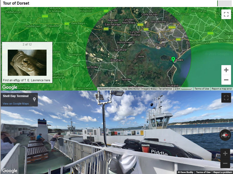
A map and street view based game. Follow a set of clues and explore landmarks around Dorset. For fun only (no actual prizes!).
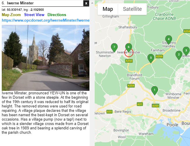
A collection of some picturesque villages that can be found in the English county of Dorset.
Please contact us if you would have an idea for a new feature or would like to contribute content to the site.