Bournemouth From The Air
This page displays a collection of aerial photos of Bournemouth and the surroundly areas kindly provided by Kitchenham photography. The photos were taken around the early 2000s.
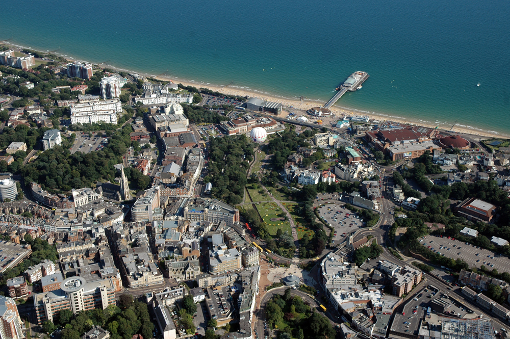
Bournemouth Pier and sea front
The Bournemouth sea front viewed from the South and the West
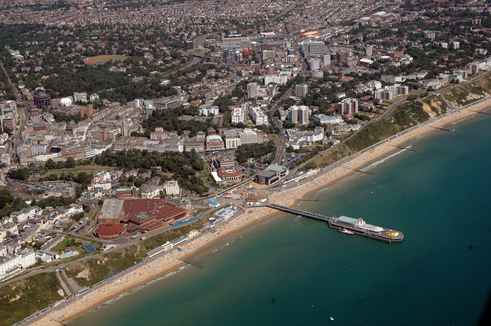
Bournemouth Pier and Town Centre
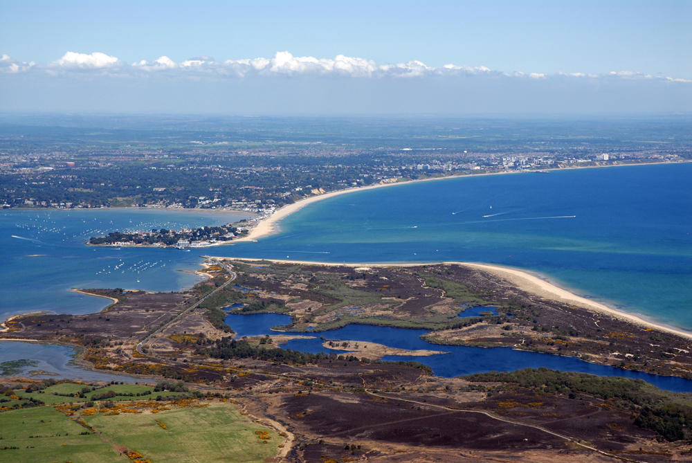
Shell Bay, looking north towards Sandbanks and Bournemouth
Poole Harbour
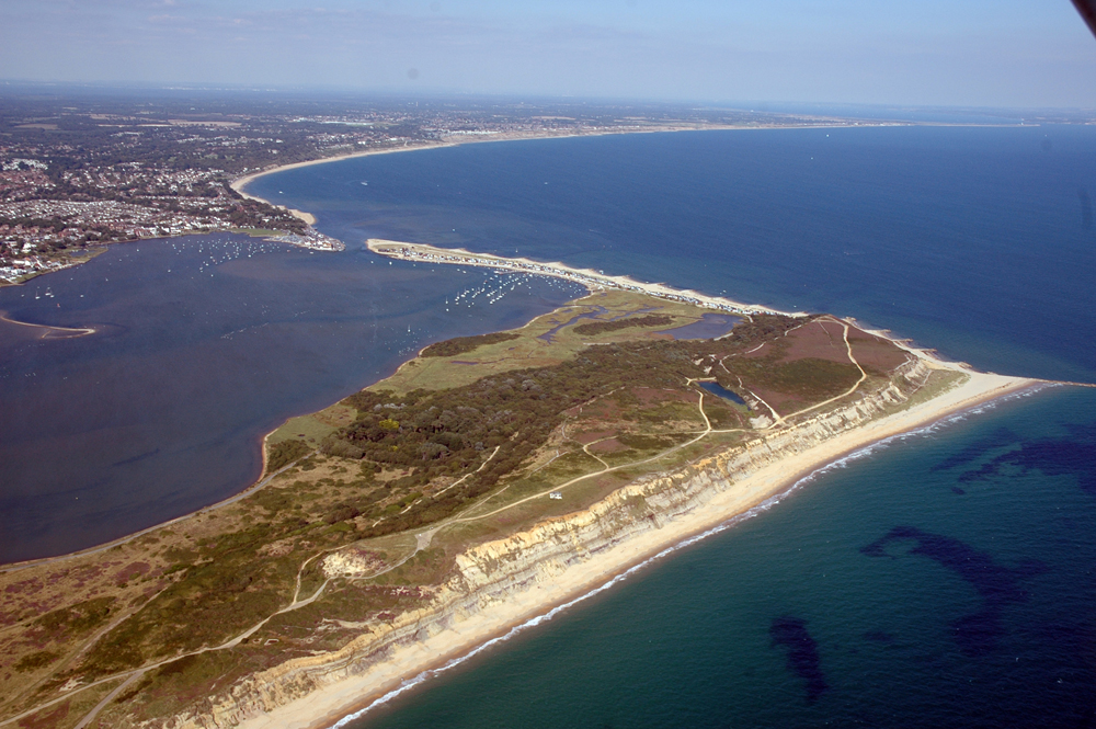
Hengistbury Head
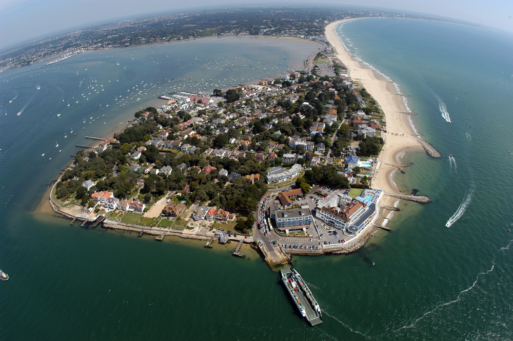
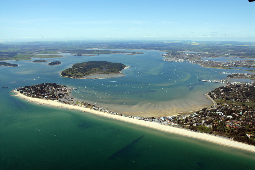
Sandbanks
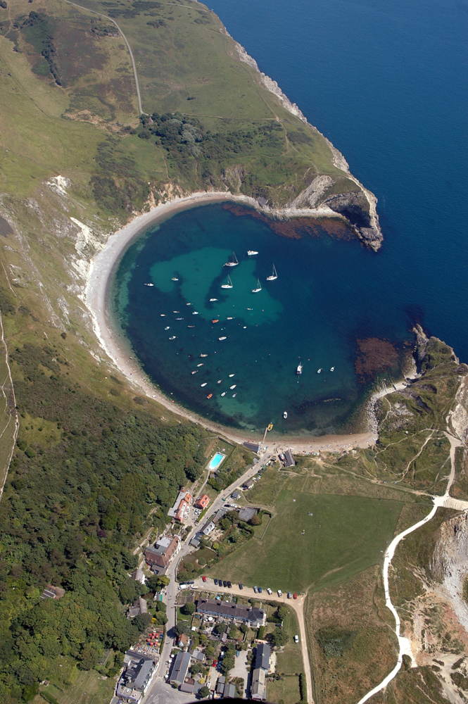
Lulworth Cove
|